

Although we awoke to intermittent showers and were expecting to ride in the rain for most of the day today, we were pleasantly surprised to have a completely dry (though totally overcast) day for the first leg of our trip across Maine. We picked up US202 into Augusta and followed it into Hampden, ate lunch at the always-excellent Dysart’s Restaurant around 2PM (having left home at 11:30AM), and then followed ME-9 (the “Airline”, named for the Airline Stage Company whose business it was to bring colonial-era settlers into what was then a trackless forest) east to Calais, Maine where we are spending the night. When we first took the Airline thirty years ago to canoe Sysladobsis Lake, there were some nice views of Mt. Katahdin along this road, but now the trees have grown up so that it is impossible to see the mountain.
Because of the multitude of lakes in Maine, most of which run north-south (a gift of the glaciers that created them), there are no interstate-caliber highways that cross the state running east-west. ME-9 is one of three options, as ME-3 runs east and south to Belfast, and US2 runs north of where we want to go. ME-9 is an excellent road capable of travel at 65MPH (the Vespa speedometer, notorious for reading high, routinely hit 80!), with many sections running three lanes for the hill climbs. This surprised me, in fact — it appeared that the road climbs going east, but shouldn’t it be dropping in elevation as it passes south of the Katahdin tableland toward the ocean?
It is also amazing how quickly the Vespa sucks down gasoline running above 60MPH. We knew that it was a long, desolate stretch of forestland heading east on the Airline, especially after passing Unity, and so we were careful to fill up in Hampden after lunch. Even so, the jaunty yellow low-fuel light came on about 20 miles west of Calais, making me more than usually excited to see that welcoming Irving gas station on the outskirts of Calais. That light comes on when there’s about a gallon left in the 2.4 gallon tank, so I figured that even with the atrocious high-speed mileage I was getting, I would still have about 50 miles to go to empty. And sure enough, there was more than half a gallon left when I finally did fill it up. Still, seeing that gas gauge on “E” really unnerves me….
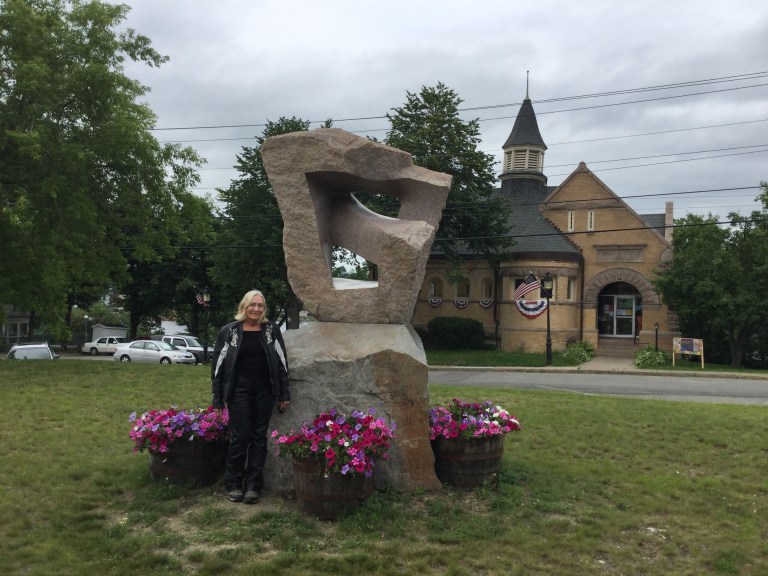
Calais seems like a town trying to do its best with too few resources. Apparently the heyday of the town occurred around the time of the Civil War, when Calais was both a lumbering town (handling the wood floated down the St. Croix river on which the town sits) and a shipbuilding town, located as it is with access to Passamaquoddy Bay. There remain dozens of Federalist-era homes in town, a few of which are well-maintained showplaces, and many of which have clearly seen better days. There is now no industry in Calais, now that the lumber and paper mills have closed, and so there is clearly no money here — lots of empty shops on Main Street and lots of abandoned old homes. Yet, the streets are clean and tidy and much effort seems to have been expended to brighten the public spaces. Consider this lovely sculpture in the center of town, with the public library in the background:
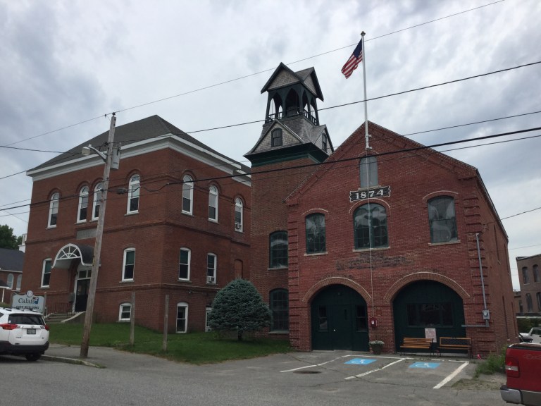
Here is a view of one of the more attractive old buildings in Calais:
We both agreed that the town looks like Robin’s hometown of Milan, Ohio, built in the decades following the Civil War — except Milan is in much better shape.
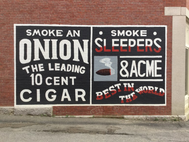
Not sure what to make of this sign painted on one of the buildings downtown….
There is likewise a faded sign on another building advertising Dr. Thomas’ Sarsaparilla, “cures where others fail”. Had to have been painted at the dawn of the 20th century!
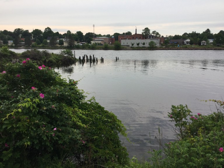
I suppose that these anachronisms are part of the charm of Calais, Maine. As you would expect, there is a lovely river walk and park down on the shore of the St. Croix; this photo was taken near the town boat landing:
As I said, Calais is clearly trying to do its best despite the fact that time has overtaken it, and the industries which built this town have faded away. Tomorrow, there is rain in the morning forecast, so we plan to make a leisurely start, cross the bridge to St. Stephen and pick up NB-3 for Fredericton. We will go from there on to Moncton and, with luck, cross the Confederation Bridge and be in Prince Edward Island before nightfall. We’ll see how it goes!

Enjoyed this post having traveled “the airline” many times years ago and then being impressed with the improvements on a trip 2 years ago….by car.
Looking forward to future reports on PEI, a special place for sure. Safe travels.
LikeLike
You’re riding one of my favorite daydream rides! Have a blast and keep the shiny side up!
LikeLike