
For those readers interested solely in motorbike or RV trips, feel free to skip this entry, as it represents a marked diversion from the content I usually post. However, due to family interest expressed in the topic, and a couple of (what I consider to be) really exceptional photos, I decided it was worth sharing this experience here.
The Allagash River, you see, is one of the iconic river trips available in Maine – or, I would argue, anywhere in the USA. Draining the northwest side of Mt. Katahdin, the headwaters of the river are comprised of fifty miles of lakes; then, the river runs north through the vast and largely undeveloped North Maine Woods to its confluence with the St. John River in the town of Allagash, Maine.
The trip we took in early August traversed the river portion only, given the truncated vacation schedule of the “Allagash 5”, the intrepid band of explorers who together braved the largest wilderness east of the Mississippi River. The northern third of Maine, save for a settled strip along the eastern border with Canada, is forest. Managed for lumbering by a consortium of landowners collectively known as the North Maine Woods (NMW), this part of the state (while privately owned) is managed for multiple uses including recreation — paddling, hunting, fishing and camping. Those entering this vast forest must first pass through a NMW checkpoint, where camping and road use fees are paid. From there, a network of unimproved forest roads, made of gravel and shale, traverses the wilderness and affords access to a number of iconic Maine rivers including the Allagash, the West Branch of the Penobscot, and the St. John, not to mention countless lakes. Those planning a trip here should be very aware of the fact that logging trucks have the right of way on these roads! If you see one, pull over — treat them like ambulances or fire trucks! They weigh several tons, stacked as they are fifteen feet high with logs, and take a long time to stop, especially given the often-imprudent speed with which they travel. Stay out of their way!
Few canoe trips require the planning and self-reliance of the Allagash, since (unlike most of the rest of the popular paddling rivers in Maine) road access is limited to only a handful of spots on the 100-mile Allagash Wilderness Waterway. Designated in 1966, and listed as one of America’s Wild and Scenic Rivers, the Waterway is protected from development and, at least for 500 feet on either side of the high water mark, forever wild. This makes it an unparalleled scenic wilderness experience. There is no cellphone coverage here; there are no emergency services either, save for the dedicated waterway rangers who each cover about ten miles of river, maintaining campsites and helping canoeists along the way. So, know that if you do this trip, YOU ARE ON YOUR OWN. Bring everything you need, including medical/first aid supplies and, if you are concerned about such things, a satellite phone, as it is the only way you can reach civilization — and even then, help will be a long time coming.
Another complication with this trip is that it requires a vehicle shuttle over primitive roads. Depending on how much of the trip you want to do (lakes, river or both), you can either drive to your starting point and then hire a shuttle to transport your vehicles to the take-out, or you can drive to the town of Allagash, leave your vehicles there, and hire a shuttle to take you to the put-in. This trip, we did the latter, as I have always previously done it the other way — and on one such trip, suffered three flat tires on the sharp shale roads. So I decided to risk somebody else’s tires this time, and hired the outstanding outfitter and shuttle master Norm L’Italien of Pelletier’s Campground in St. Francis, Maine. We drove up to St. Francis on a Friday and stayed at Pelletier’s overnight, before being shuttled in to Churchill Dam the next morning. Here are two photos of our campsite at Pelletier’s.

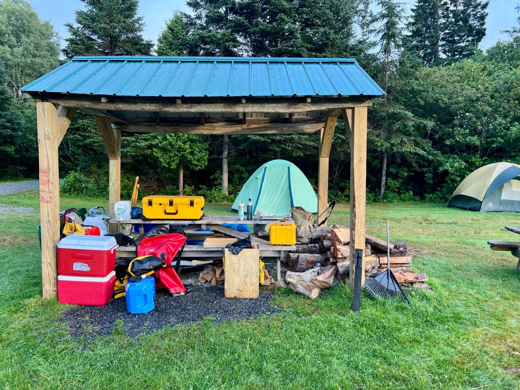
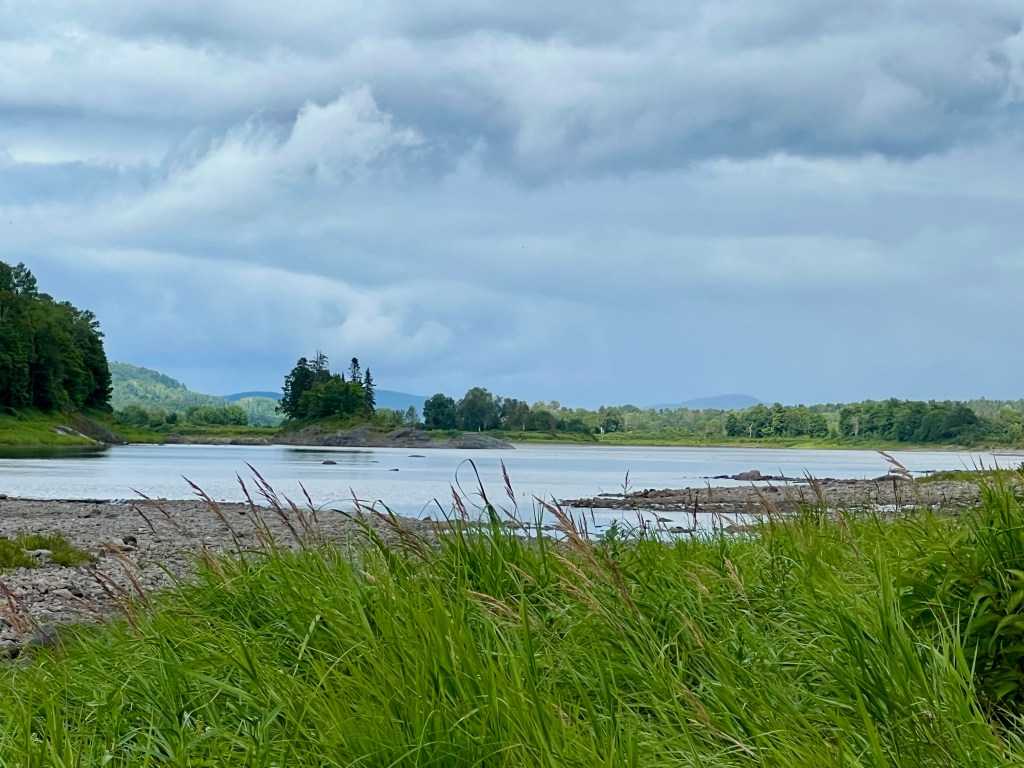
This campsite is right on the bank of the St. John River, with lovely views up and down the river:

Consider the map of the entire waterway seen below. We began our trip at Churchill Dam, the northern terminus of the lakes in the waterway. But the lakes are also a very rewarding trip, loaded as they are with history of the old logging days — especially the tramway and locomotives on Eagle Lake.
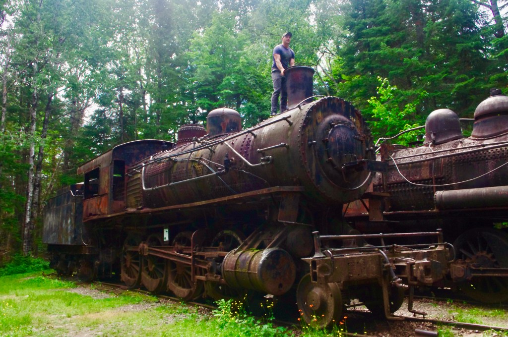
Here’s a photo of the locomotives taken from a trip in 2021. I would highly recommend doing the entire waterway if you have the time (allow ten days) and the camping and orienteering skills to manage it.

Anyone planning a trip here should visit the outstanding waterway website: https://allagashwaterway.org. as there are a number of rules and a lot of information here that you will need to know, to ensure you have a safe and enjoyable trip. This is, in my opinion, NOT a trip for beginners! Try some of the shorter and easier Maine rivers first, like the Saco or St. Croix, and have a number of camping trips behind you before you try the Allagash! Also, consider reading one of Maine Guide Gil Gilpatrick’s books on the Allagash, particularly “The Allagash Guide” and “The Canoe Guide’s Handbook”, which also includes plans for building trip boxes in which to store and transport your kitchen and food. Now, below is a closeup of the river portion of the trip, the portion that we did:
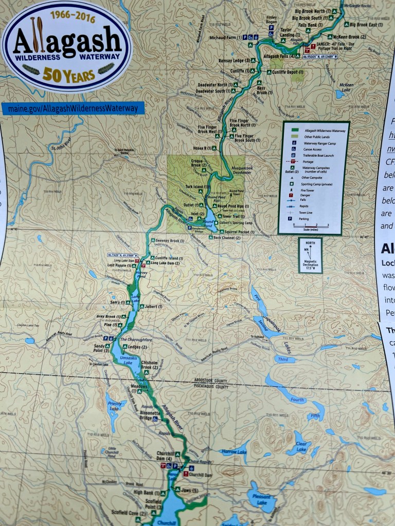
We intended to put in at Churchill Dam and go south for one night to the unparalleled Schofield Point campsite, which is truly a palace in the woods. But we found that every campsite on the northern end of Churchill Lake was full, so we reluctantly headed back to Churchill Dam to spend the night there. These are lovely campsites within view of the dam, right on the river, but they are a long portage from the water.
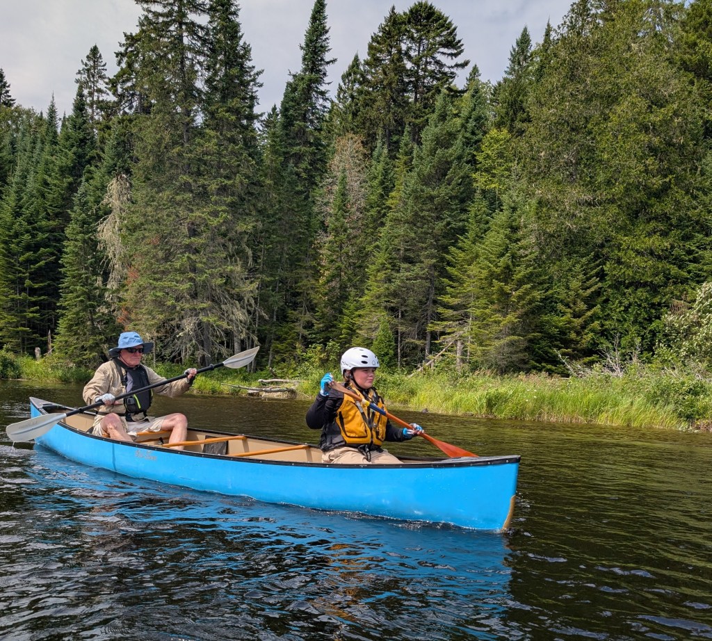
The next morning, we faced the most challenging whitewater of the trip, nine-mile long Chase Rapids. These are Class II+ at normal water levels, and the rangers require that you pay them $10 to shuttle your gear around them, as they (the rangers!) do not care to fish your stuff out of the river if you capsize. Canoes can be destroyed here; if you should broach against a rock and capsize, the river will fill the canoe with water and the current will wrap it around the rock. Consequently, should you come up against a rock mid-river, lean TOWARD THE ROCK to lift the upstream side of the boat so that the river cannot come flowing in (counterintuitive, I know!). Here is grandson Jaxon and I preparing to enter the rapids. Note that, in order to better accommodate our respective weight differences, I am paddling with a kayak paddle, seated on the front seat, and we are both facing the actual rear of the boat (we are paddling it backwards!).
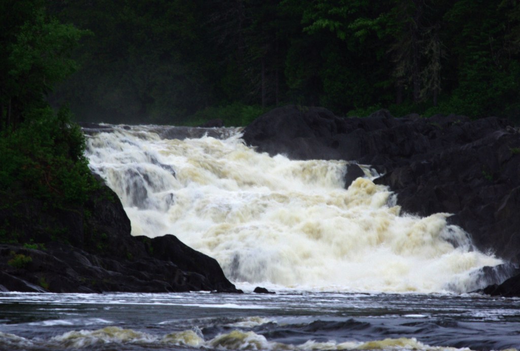
On this trip, we traded bugs for water — we had almost no bugs on this trip, astounding given the ferocity with which they usually pursue you here (“black flies — defenders of wilderness”!) but it being August, the water level was extremely low, such that we were forced to end our trip at Michaud Farm. Unfortunately, this meant being unable to experience the majestic Allagash Falls, seen here on a trip taken in 2016:
We, however, successfully navigated Chase Rapids, reloaded our gear into the boats at Bissonette Bridge, and continued on downriver to Chisholm Brook, where we camped for the night. This campsite is placed where the river loses elevation, flattening out into a marsh where it enters lovely Umsaskis Lake; I hoped to see moose here, but regrettably, they did not grace us with a visit.
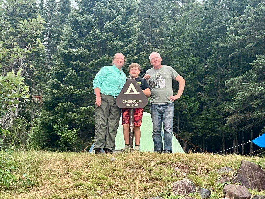
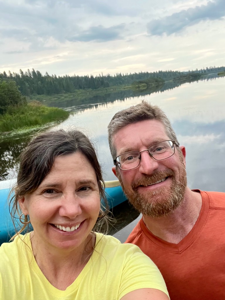
Above are friends (and experienced outdoor people!) Kelly and Ryan, who met hiking the entire Appalachian Trail; collectively with Alli, Jax and me “The Allagash Five”. And thank goodness they came along, too! Unfailingly cheerful and supportive, they were always looking for ways to help the old guy (me) down the river. Honestly, in retrospect, I probably shouldn’t have done the trip, as I had partially torn my left achilles tendon only a couple of weeks before. It had been five years since I previously did this trip, and in reality I was now right at the end of my physical abilities in this regard. And had not Ryan and Kelly done all the heavy lifting and canoe portaging, I honestly don’t know if I could have done it myself, given my compromised leg.
And more than that, they were so good with Jaxon, who at ten years old can sometimes be a handful despite his generally excellent demeanor. But Ryan, an expert fisherman, let Jax use his fishing gear and taught him how to do it correctly (something with which Alli and I have no experience), which gave him hours of entertainment on the river. So generous and kind they were, I will always be grateful that they were with us on this trip.

The next day we traversed Umsaskis Lake (a long flatwater slog) before stopping for the night at Grey Brook.
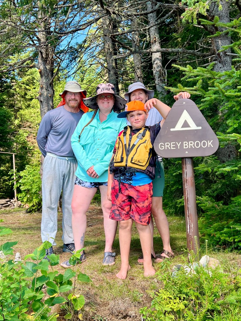
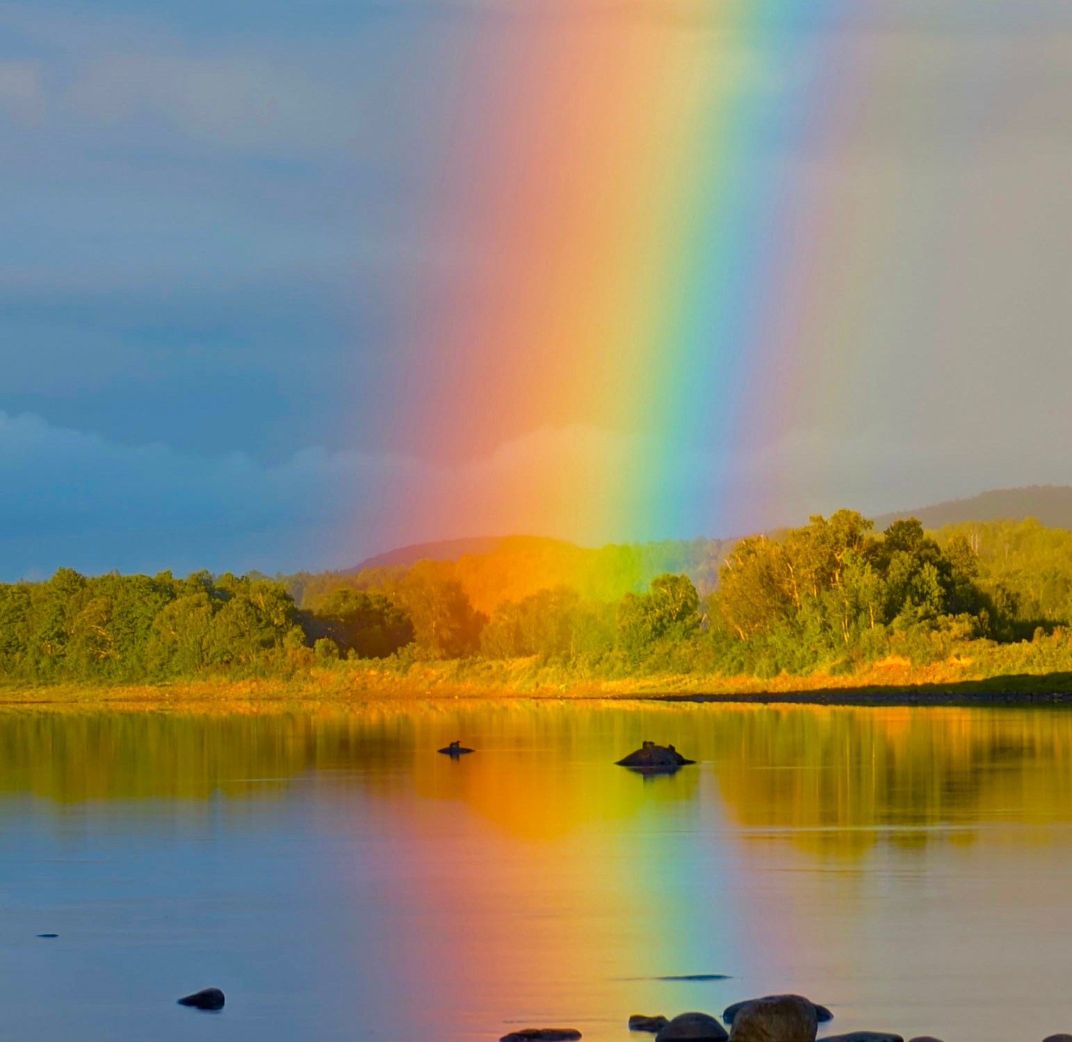
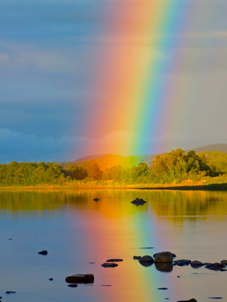
At Grey Brook, as we were eating supper, the heavens opened into a deluge of Biblical proportions — puddles were ponding under the picnic table, and a small stream began to flow under our tent and down to the river (the tent, unbelievably, stayed dry! Shout-out to the Eureka Kohana 6!). It should be here noted that each campsite on the Allagash waterway is first-come, first-served (although people will share in a pinch), and each includes a fire ring, an outhouse, and a picnic table with ridgepole. This last is really important, because it means that you can hang a tarp over the picnic table by means of the ridgepole and thus guarantee yourself a dry place to cook and eat, no matter the weather — we were plenty glad to have it at Grey Brook! But the even more remarkable thing is that, once the rain ended around sunset, the sun came out — and gave us a stunning double rainbow! Check it out:


The next morning we awoke to the prospect of a long deadwater slog, eight miles against the wind up Long Lake to Long Lake Dam. and then on through Harvey Pond to the Cunliffe Island campsite. The dam at the head of Long Lake no longer remains, but the remnants include metal spikes which can easily punch holes in your canoe, and so for most paddlers (unless you are experienced with lining canoes) it is a mandatory portage. Again, sincerest thanks to Kelly, Ryan and Allison for doing the heavy lifting here! Here’s a photo of the dam below:

Below are photos of Cunliffe Island:
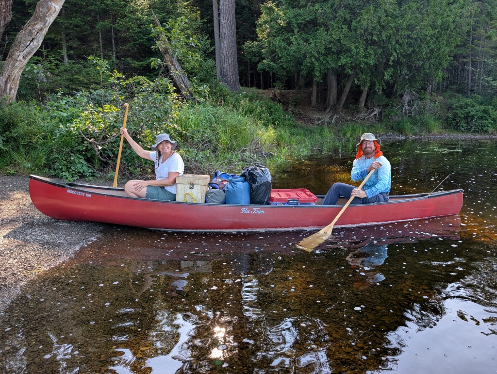


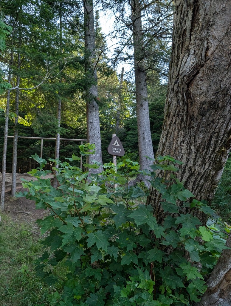
The following day was a long one, with lots of flatwater to traverse. The river carried us into lovely Round Pond, where we stopped for lunch, and then on through the Musquacook Deadwater to a barely serviceable campsite at Hosea-B, where the ground was barely flat enough to pitch the tents. Here is where a lone paddler made his tired way to our campsite at dusk, looking for a place to stop for the night; we graciously (as everyone does in the Allagash) offered him a spot, which he gratefully accepted, joining us later for s’mores around the campfire. This fellow found an excellent, barely used Leatherman multi-tool while looking for a spot to pitch his tent, which he most generously gave to Jaxon! Great guy, he was a school bus driver throughout the year but does multi-month river trips on his summer vacation; this year he was planning to do the entire Allagash waterway and then continue on down the St. John River until it met the sea, a 270-mile trip, all alone. I hope he had enough water to do it!
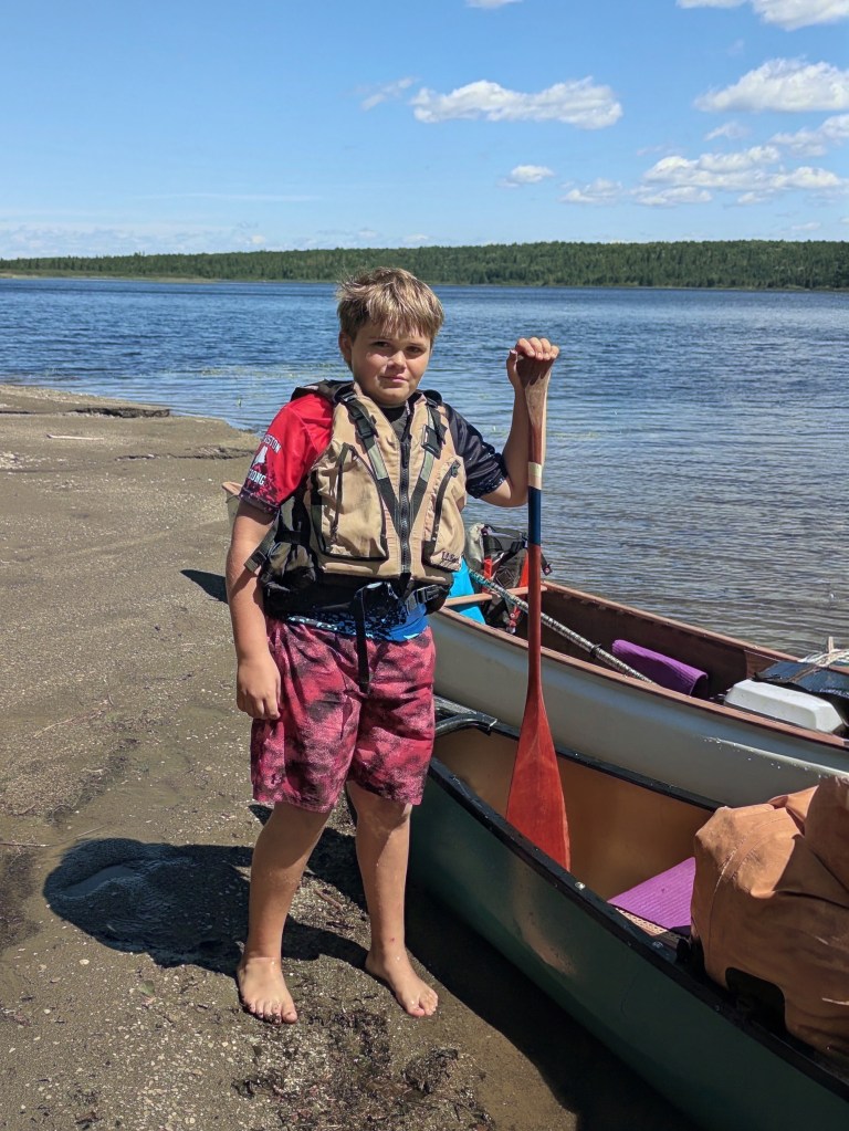
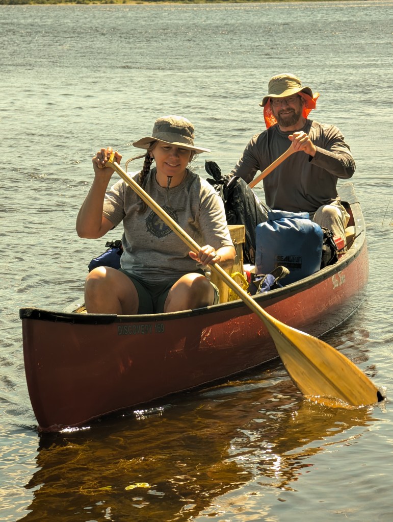
Here we are, the Allagash Five at Hosea-B!

Ryan and Kelly left us the next morning to hightail it out to Michaud Farm so they could get home early and care for their old dog, as the dog sitter’s last day was the day we spent at Hosea-B. So Alli, Jax and I packed up camp for the last time, loaded it once again into the boats, and made our way down the increasingly-dry waterway to the take-out at Michaud Farm.
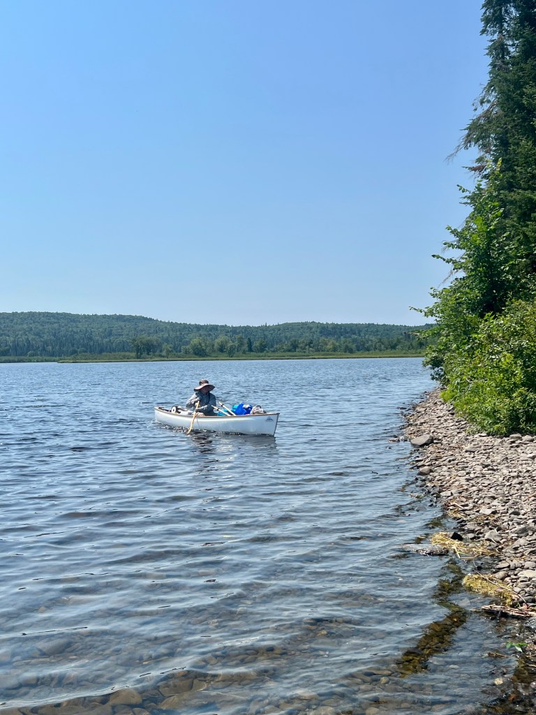
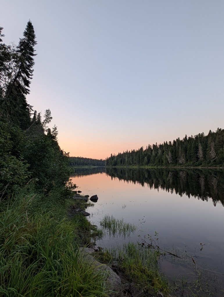
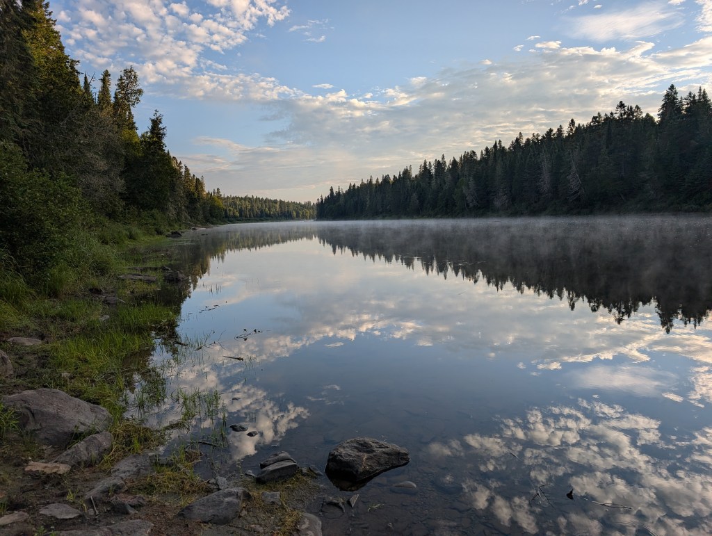
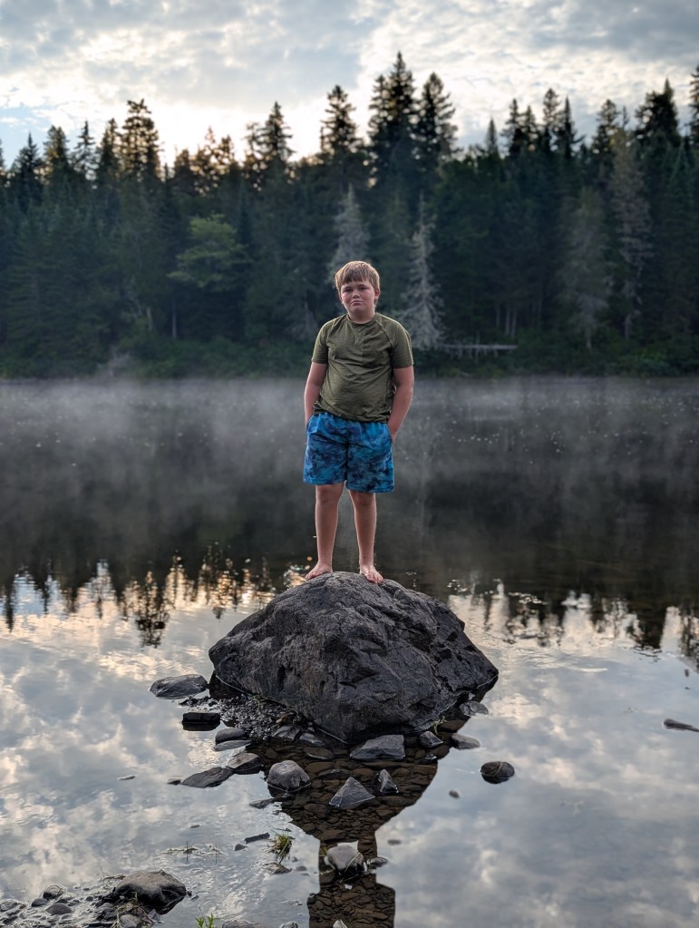
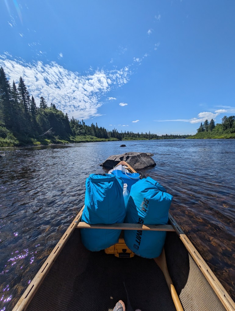
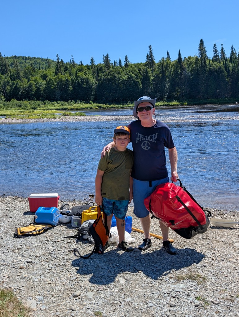
I estimate we walked about a half-mile in total down the river bed on this last leg of the trip, as the water became in many places too low to float the canoes with us aboard. Norm L’Italien was absolutely right about the water levels, and spot-on in his recommendation to end at Michaud Farm, rather than trying to make it past Allagash Falls to the official end of the Waterway in the town of Allagash. Below you can see us loading the last of the gear into the truck for the seven-hour drive home:
The Allagash is a remarkably rewarding river trip for those with the experience and know-how to manage it safely. And for those who do not, an internet search will readily reveal qualified guides whom you can pay to bring you down the river, so you can have the experience without all the risk that goes with a self-guided trip. I honestly believe that every Maine resident should canoe the Allagash Wilderness Waterway at least once in their lives, and I am so grateful to have been able to accompany Alli and Jax on this trip, Jaxon’s very first wilderness canoeing experience and — who knows, as I approach my seventh decade? — perhaps my last.
Note that many of the photos here were taken by Allison, Kelly or Ryan in addition to those that I took myself. Thanks for reading, and I hope you have enjoyed this variation from my usual content! If so, please say so in the comments below; or, if you think I should stick to strictly travel/motorbike content, tell me that, too! I hope to have another trip to post here before the summer season ends!


Way beyond my capabilities but it sounds like it was a good trip. Great rainbow pictures!
LikeLike
Thanks for reading and commenting! Yes, the rainbow was AMAZING!
LikeLike
I saw this post sneak into my “Social” folder instead of my general inbox. Silly Gmail! I’m so, so glad you decided to write about this and share these breathtaking pictures with us. I had been wondering if you were going to make a post about it or not. Wow, that rainbow!! These are such incredible shots. I didn’t know much at all about the Allagash, so I enjoyed learning some about it. I cannot even imagine those rapids!! I’m so sorry about your partially torn Achilles and hope you’re healing well and continuing to improve! I’m glad you all had a safe trip. Also, great family/friend pics, I especially love the Yoda shirt haha! Thanks for including this post in your blog. You’ve inspired me to unplug during my vacation!! 🙂
LikeLike
Hello John,
I am finally getting to my many emails that arrived in my box during my 3 week trip to the East coast. I spent the time visiting family and friends, as well as some of my favorite places, drove 4500 miles, and am now back home and in the midst of playing catch-up.
Thank you for sending me this link to your trip on the Allagash. I have never been, nor do I expect I ever will, given the lateness of my retiring from work and starting on my plan to play. My bones and muscles were never super great, but now they are even more of a drawback. But I do try to walk daily, and am going back to doing some PT for general flexibility, balance, and maybe gain a bit of strength.
Thank you for sending you story to me – I am impressed with Jax! and with you taking on this trip with a young person. Congratulations on being a success!
Take care, Helen
>
LikeLike